
Prinav GIS Technologies is a forward-thinking geospatial and engineering services company dedicated to innovation, quality, and excellence. We provide cutting-edge solutions that empower organizations to make data-driven decisions and achieve their strategic objectives.
To become the leading GIS and engineering solution provider shaping smart cities and sustainable communities.
To deliver reliable and customized geospatial and technical solutions that empower our clients to achieve their goals efficiently.
We combine advanced GIS technology with practical engineering knowledge to provide holistic solutions tailored to our clients' needs.
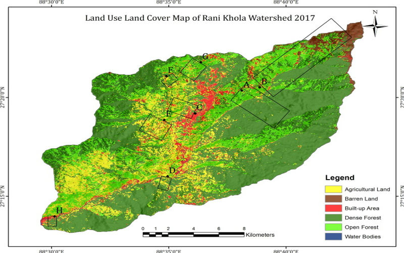
Projects conducted for telecom, regional, and watershed planning with scholarly GIS representation.
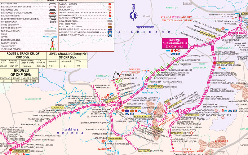
Final location surveys and alignment studies for new railway lines across multiple railway zones.
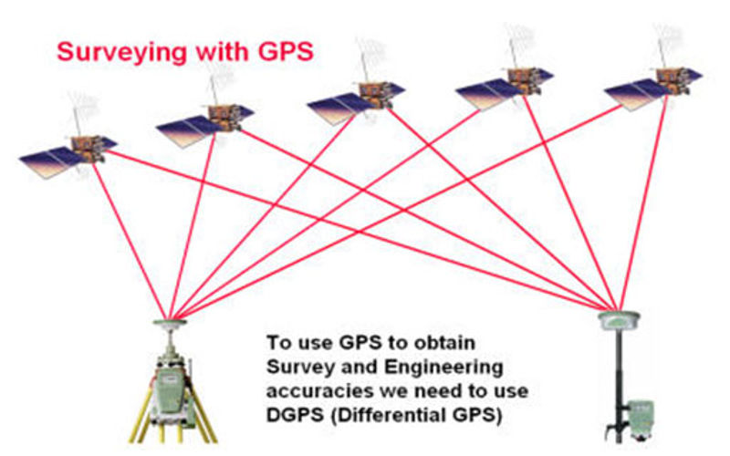
Completed over 14,500 km of GPS/DGPS survey for transmission lines across multiple states.

GIS-integrated tax systems for Nagar Parishads with high-resolution imagery and DGPS survey.
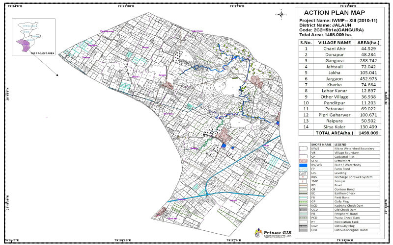
DPRs using GIS-based watershed maps and soil capability studies for effective planning.
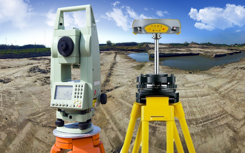
Total Station, GPS and DGPS surveys for various government departments and agencies.
Join us and be part of our growing portfolio of impactful projects across various sectors and industries.
Successfully completed end-to-end GIS mapping and asset tracking system for a major refinery in Assam.
Timely execution of high-precision GIS and surveying project for Kanpur Metro’s underground infrastructure.
Successfully completed topographic survey and route mapping for Western Central Railway (WCR).
Proudly empaneled with NHAI for advanced road mapping, drone surveys, and asset monitoring systems.
Developed smart GIS solutions for multiple Indian cities to enhance urban infrastructure planning.
Completed DPR for 10 districts in Uttar Pradesh under the Smart Water Supply Network (SWSN) initiative.