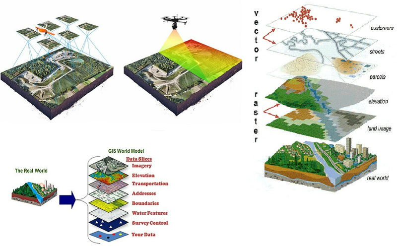


Prinav GIS Technologies offers state-of-the-art and field-proven Land Information Systems, Large-Scale Development, Project Area Mapping and Periodic Monitoring, Geo Engineering/GIS Solutions & Services, and Map Conversion and Digitization Services. We specialize in River Valley Project Planning such as Irrigation and Flood Control, Urban Utility Mapping, Master Planning, and easy-to-understand GIS application development.
Our team uses deep domain knowledge to deliver services tailored to each client's needs—ranging from Environmental Impact Assessments to Resource Mapping, Asset Management, and beyond. Our approach focuses on innovation, cost-efficiency, and delivering sustainable geospatial solutions.
As a complete GIS resource for the utility industry, we plan, design, and implement practical GIS solutions that are scalable and budget-friendly.
Comprehensive GIS-based property tax management systems
Custom mapping solutions for various industries and applications
Efficient spatial database design and management services
Advanced processing of satellite and aerial imagery data
Detailed land classification and change detection analysis
Precise data collection and digital conversion services
Interactive web mapping applications and portals
3D terrain analysis and modeling for engineering projects
Let our GIS experts help you leverage the power of geographic information systems for your business or project.